Digital Newsletter
Each week our editor Phil Alsop rounds up the most popular articles, videos and expert opinions. We compile this into a Digital Newsletter and send it straight to your inbox every week.
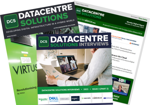
Digital Magazines
We'll let you know each time a new edition of Data Centre Solutions is released so that you're always kept up-to-date with the latest and greatest news and press releases.
Video Magazines
The Data Centre Solutions Video magazine contains the latest Zoom interviews with experts in the industry.

Investments in cloud and data set to grow as data sharing and data governance top the list of UK priorities in the year ahead.
Read More
Leading UK electrical wholesaler aims to future-proof its disaster recovery and business continuity with HPE GreenLake and Zerto, preventing downtime and improving customer experience.
Read More
94% of CIOs say extending a DevSecOps culture to more teams is key to accelerating digital transformation and driving faster, more secure software releases.
Read More
Partnership provides greater visibility and accessibility of mainframe data for management and analysis in hybrid cloud environments.
Read More
Agilitas launches ‘EVOLVE for Your People’ Report.
Read More
Larger companies more likely to see isolated data repositories hampering collaborative efforts.
Read More
New Lenovo study shows businesses are set to invest an average of $3 million in data technologies...
Read More
Extended integrations and enhancements make it easier to integrate predictive analytics within...
Read More
85% of C-level executives surveyed working in the financial and banking industry believe those...
Read More
Colt Technology Services has shared its forecasts for 2023’s biggest enterprise technology...
Read More
HPE GreenLake bolsters hybrid cloud leadership with new cloud services, ecosystem growth, and...
Read More
Report from insightsoftware and Hanover Research reveals the gaps that need to be bridged to reach...
Read More
Growth and innovation stifled by limited ability to create value from data.
Read More
New data management service helps customers catalog, discover, share, and govern data across their...
Read More
Fujitsu has implemented Qlik to accelerate its data transformation processes and enable data-driven...
Read More